DataDEV PLATFORM
In response to the challenges of managing large volumes of data, DataDEV offers cloud-based solutions through the DataDEV Platform, enabling efficient data publication and management.
Overview of Capabilities
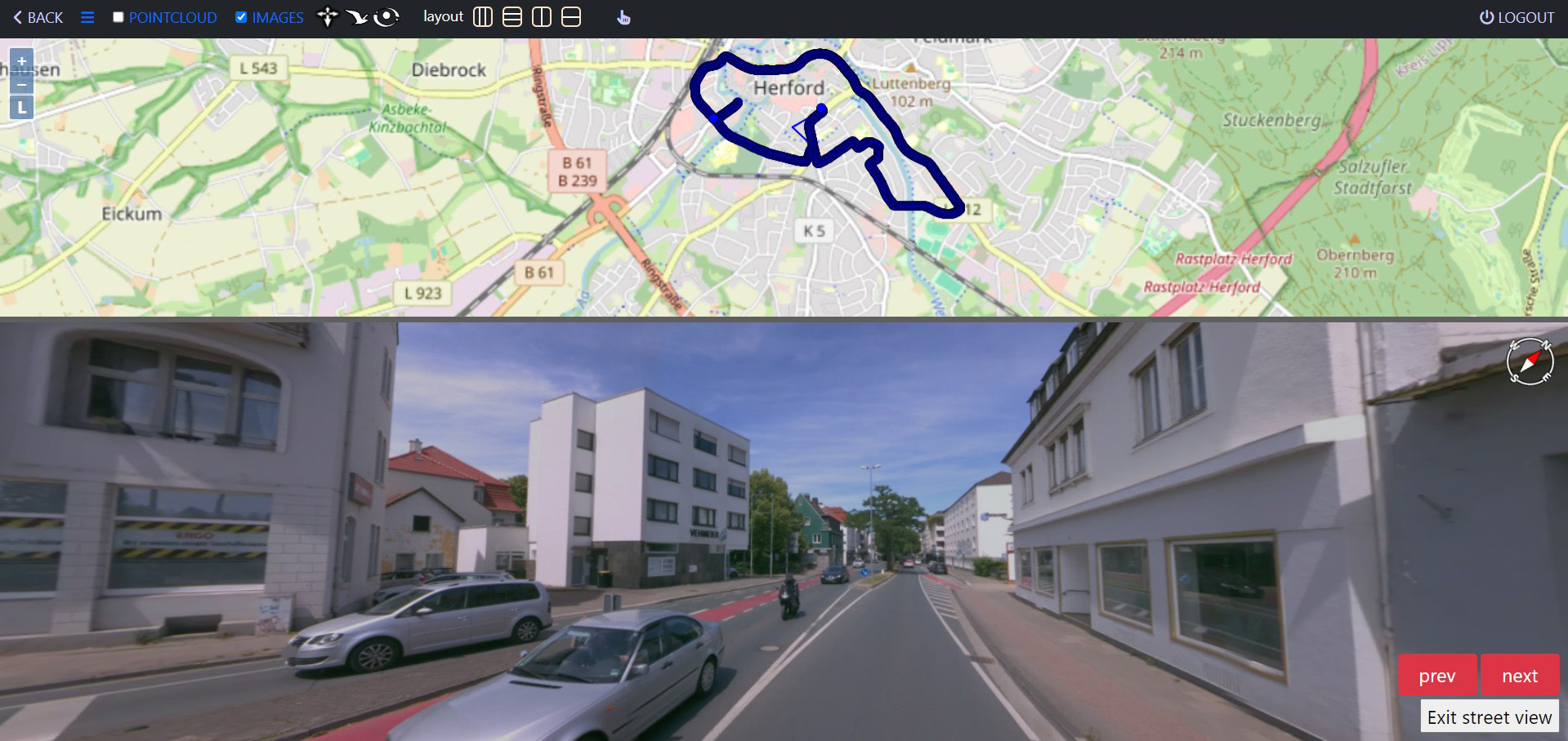
- Overlapping point cloud with images
- 3D features on a 2D map
- Navigating the map through images
- Flying mood point cloud
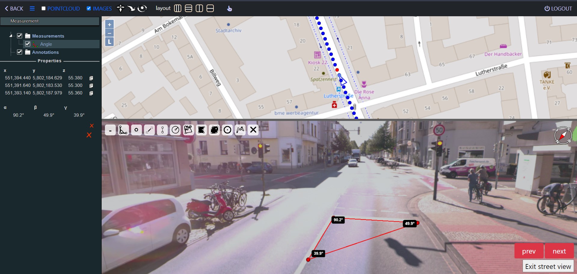
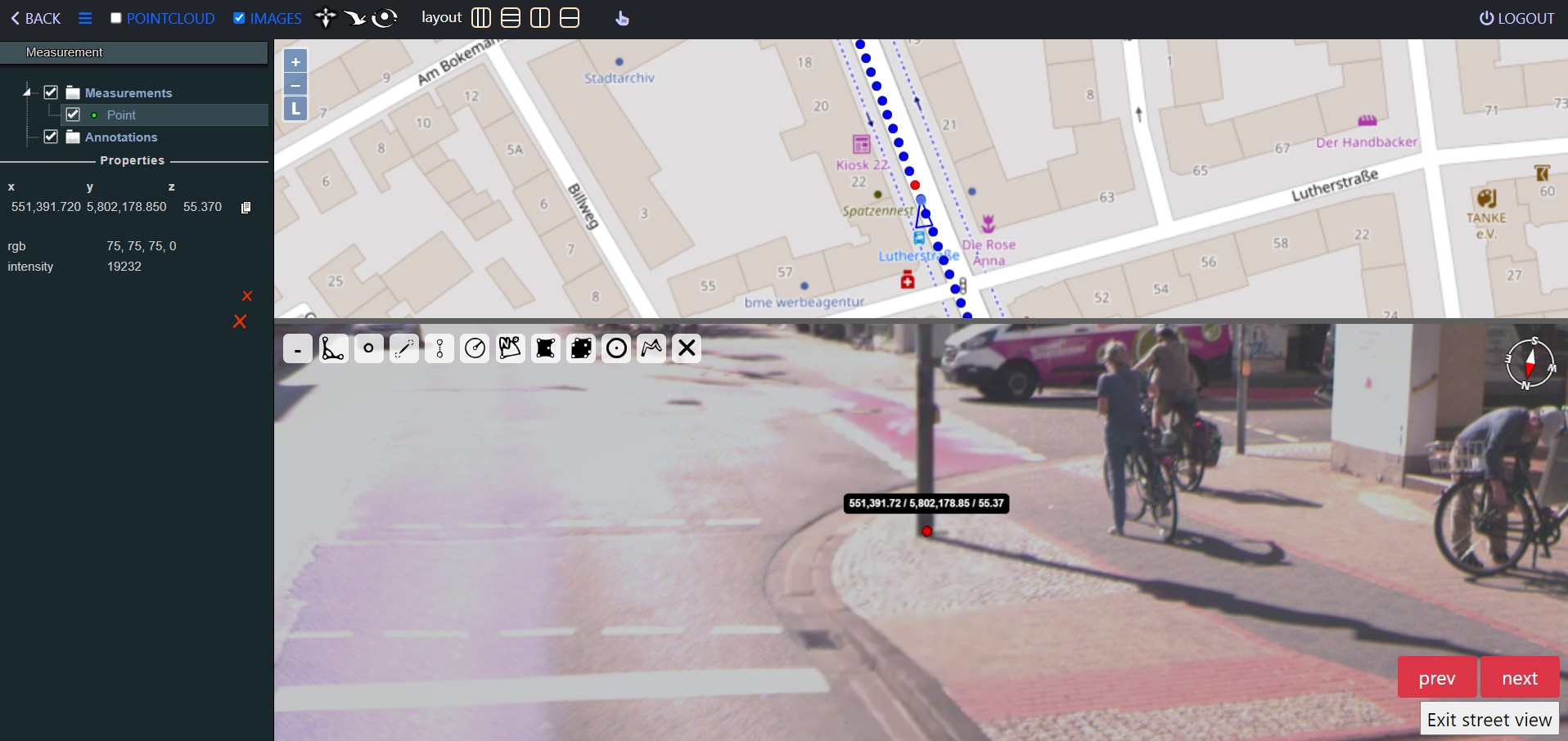
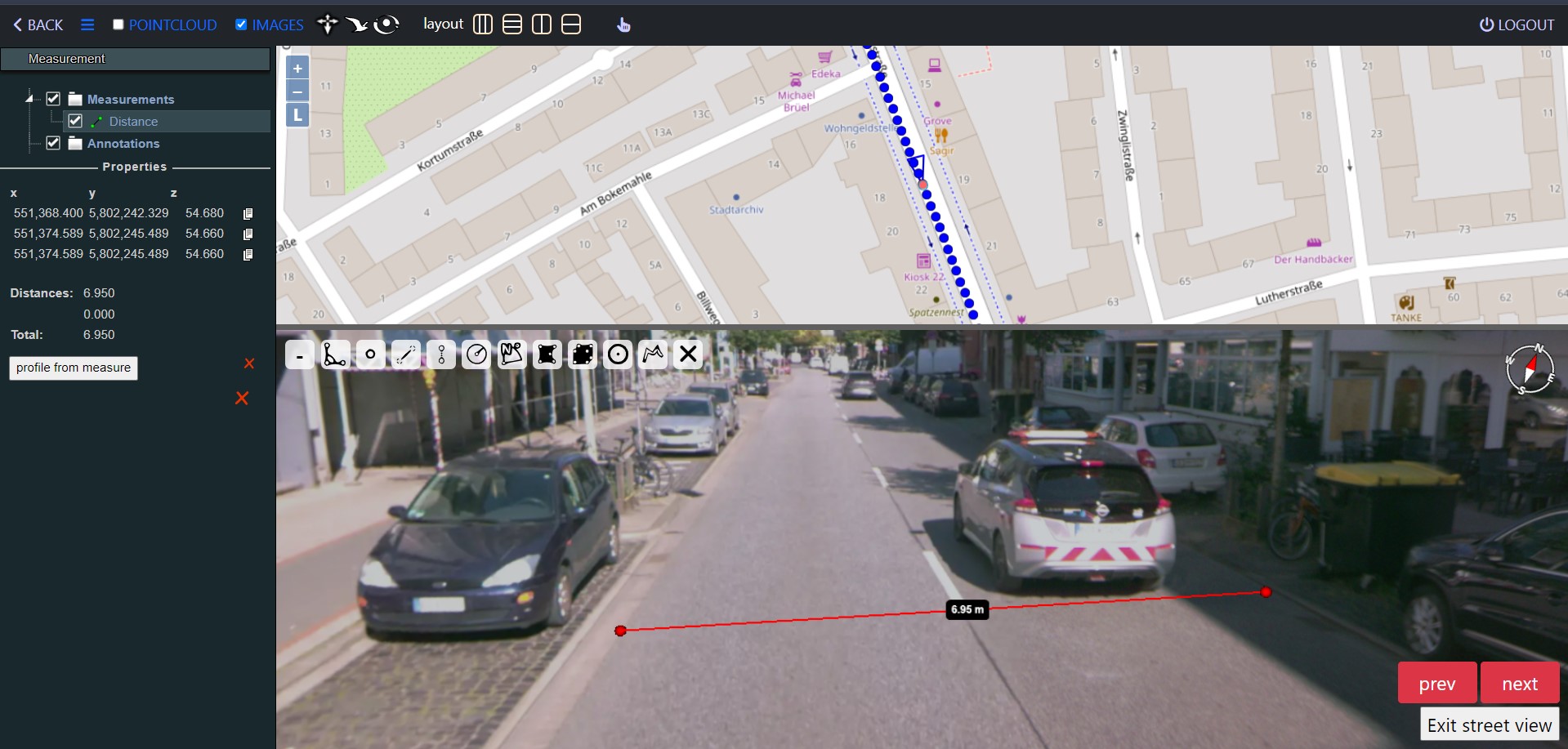
- Measurement tools
- Zoom in/out
- Layers management
Measurement Tools
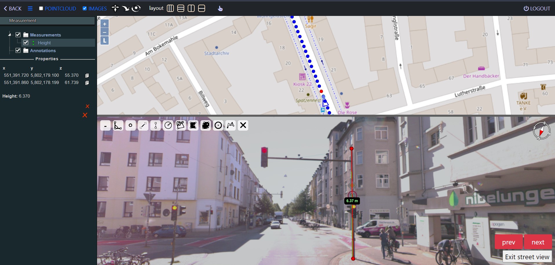
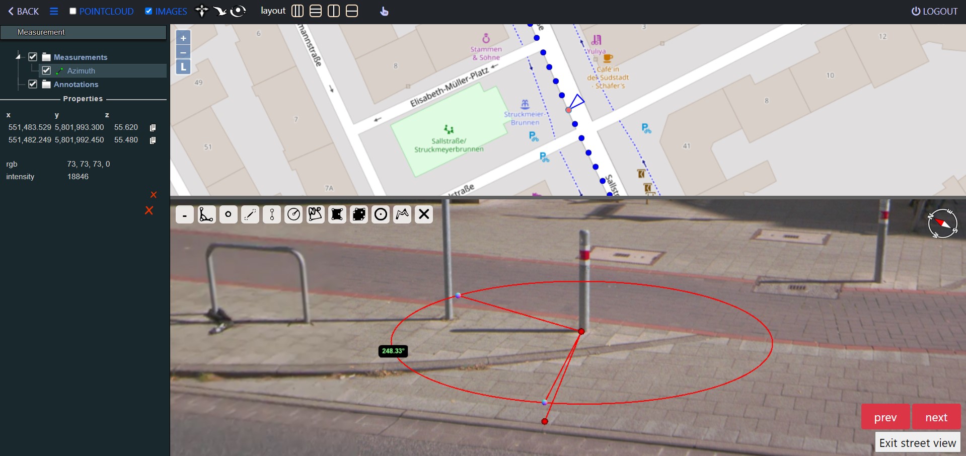
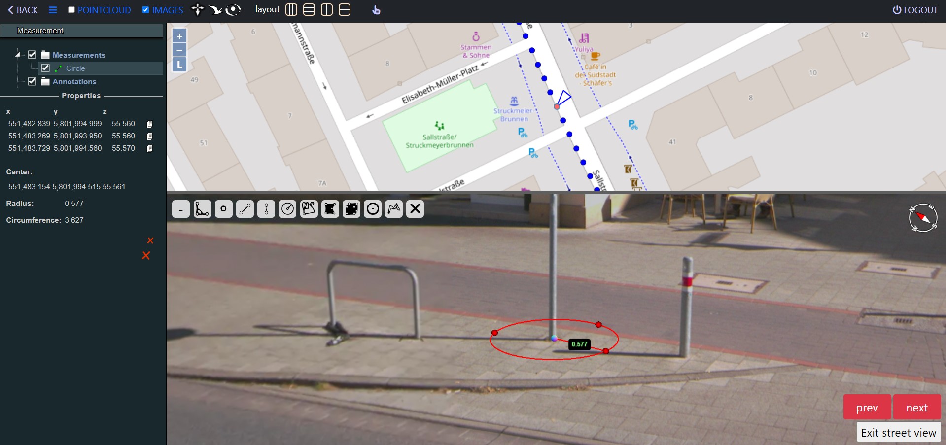
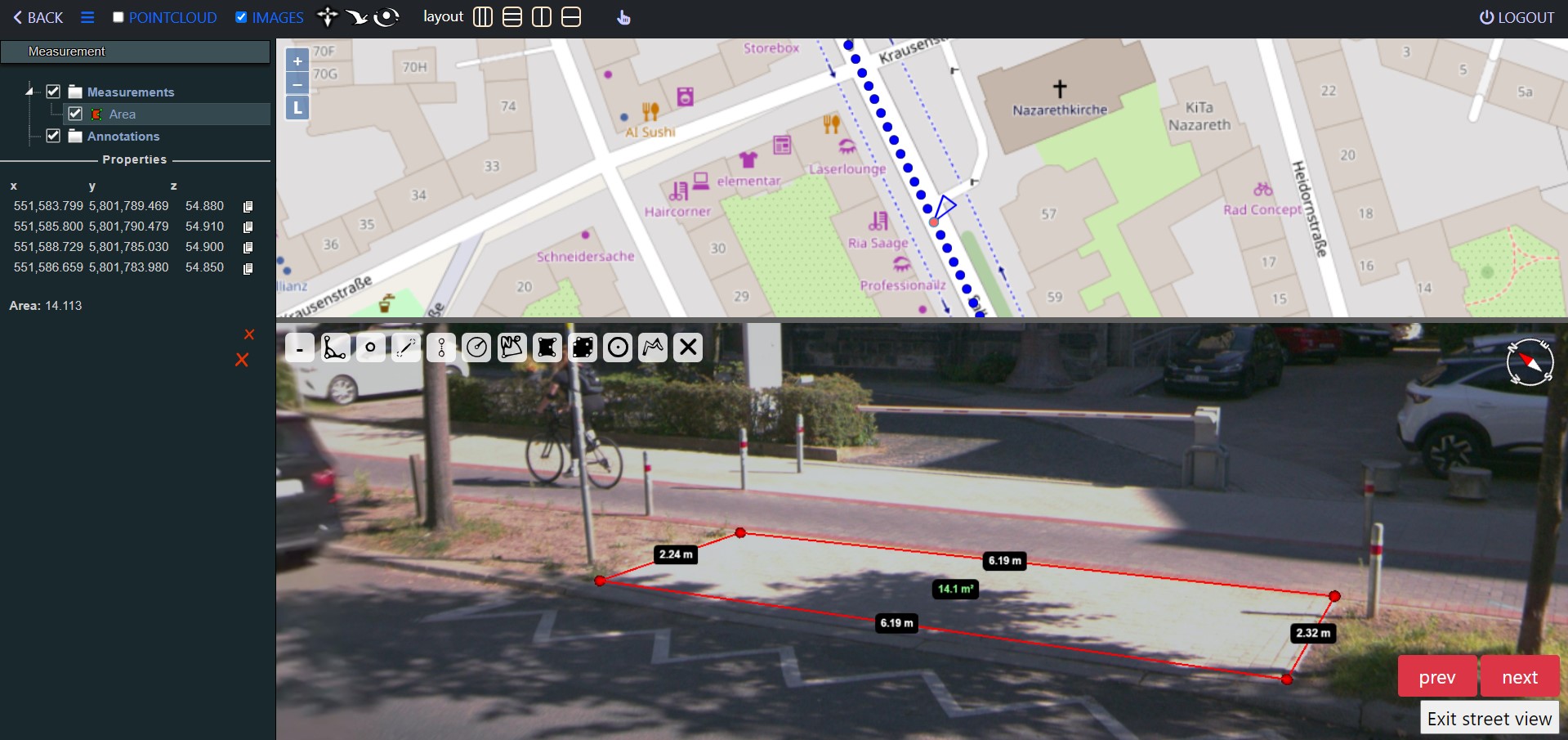
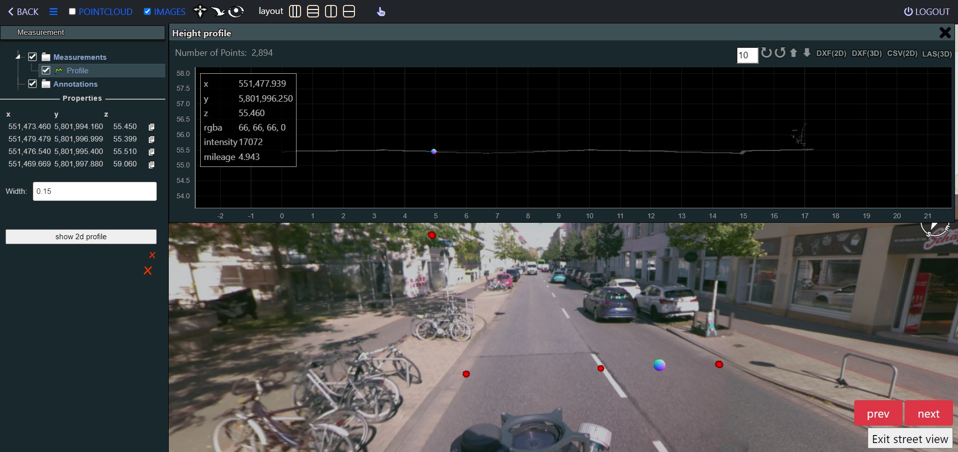
The system is designed to provide exceptional flexibility and scalability, integrating artificial intelligence (AI) tools that include:
Road Condition Assessment
Utilizing AI, we not only identify problem areas but also provide a detailed analysis of damages. The result is a comprehensive report that visually highlights the state of the infrastructure based on final assessments, facilitating informed decisions regarding maintenance and improvement.
AI Extraction of Traffic Lights, Signs and Lighting
This feature automates the detection and cataloging of traffic lights, road signs, and lighting, streamlining the maintenance of accurate and up-to-date traffic management systems.
AI Extraction of Road Markings
By employing AI, the platform automatically recognizes and extracts road markings, enhancing the accuracy and efficiency of road safety and navigation systems.
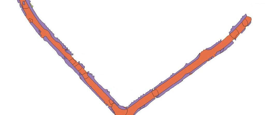
Automated Extraction of Road Surfaces
This functionality automates the extraction of road surfaces, sidewalks, and terrain from images, creating 3D polygons for these elements. This innovative approach provides detailed insights into road conditions and urban planning.
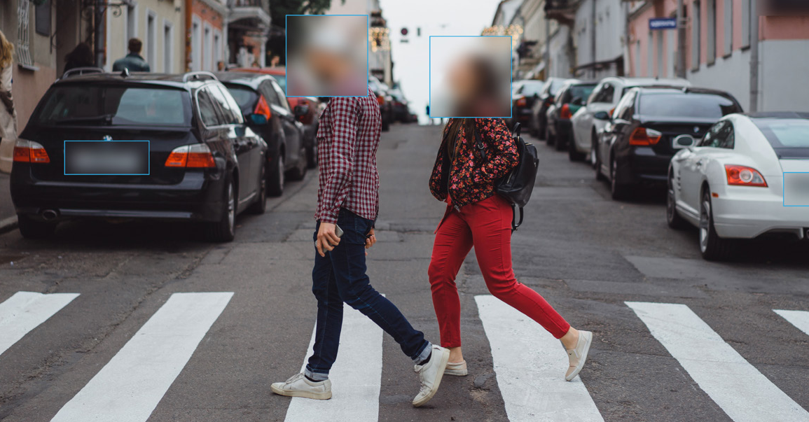
AI Face and License Plate Detection and Blurring
Ensuring privacy and compliance, the platform features AI-driven detection of faces and license plates in images, with a blurring function.
Ready to take the first step towards solving geospatial challenges? Don't hesitate to reach out.
We're here to help you every step of the way!
Send us a question or comment and we’ll be in touch with you as soon as possible.