


Events Industry
Reflecting on INTERGEO 2024 in Stuttgart: A Showcase of Innovation
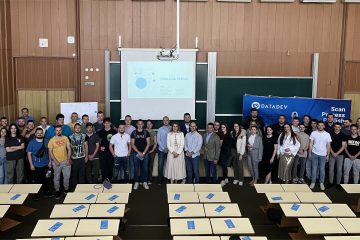
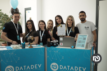
INTERGEO has long been a cornerstone of the geospatial technology landscape, and this year’s event in Stuttgart was no exception. For our team at DataDEV, participating in INTERGEO 2024 marked our third presentation at this Read more…