Company culture
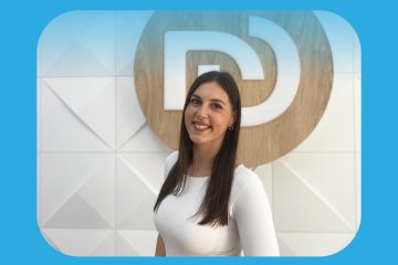
From Intern to Full-Time Teammate: Interview with Ivana Pavlović
We are excited to share Ivana Pavlović’s journey from intern Read more…
We are excited to share Ivana Pavlović’s journey from intern Read more…
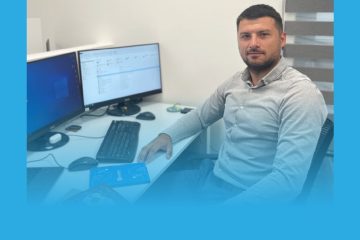
We recently marked the 4th work anniversary of Đorđe Tojić, Read more…
Connecting with the Bright Minds of Tomorrow At DataDEV, we Read more…
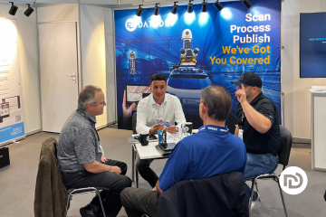
In the world of geospatial technology and innovation, INTERGEO stands out as one of the most prominent and influential events, attracting professionals and experts from all corners of the globe. For the second year in a row, we had the privilege of being a part of this incredible gathering, which took place in Berlin.
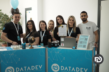
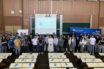
On May 11th, 2023, DataDEV had the privilege of participating in the Student Fair of Professional Development at the Faculty of Sciences, University of Novi Sad, Serbia. The event brought together 14 companies and more than 500 participants, providing an exceptional opportunity for students and other interested parties to explore various career paths and meet with potential employers.
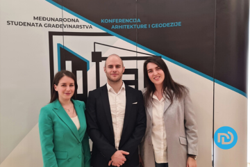
If you’re a student of civil engineering, geodesy or architecture, you know how important it is to stay up-to-date with the latest technologies and trends in your field. That’s why the Build It First conference held in Zlatibor from 10 to 13 April was such an exciting event for everyone involved.
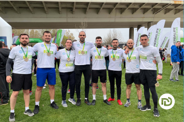
Excitement, enthusiasm, and an unbeatable team spirit were in the air as our company took part in the highly anticipated Serbia Business Run event held in Novi Sad yesterday. It was an experience like no other, and we are thrilled to have been a part of it!
As the CEO of DataDEV, Dejan Vasic has spent many years building and implementing a company culture that reflects shared values, a positive attitude, and high standards. In this Q&A blog post, Dejan shares his insights on the importance of company culture, achieving success, staying informed about industry trends, and maintaining a healthy work-life balance.

LiDAR (Light Detection and Ranging) is one of the most popular ways to remotely sense the Earth. LiDAR system uses laser rays that are pointed toward the ground and then reflect to the sensor, making 3D models of the terrain and the objects on it. Mobile mapping expert Jovana Babić will explain in a bit more in detail how LiDAR works, as well as the applications of the LIDAR system.
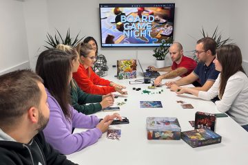
Since the last year our company has started with a monthly team building activity that is board game night events. Regardless of weather conditions or traffic jams, there is always time and space for these events.