
LiDAR (Light Detection and Ranging) is one of the most popular ways to remotely sense the Earth. LiDAR system uses laser rays that are pointed toward the ground and then reflect to the sensor, making 3D models of the terrain and the objects on it. Mobile mapping expert Jovana Babić will explain in a bit more in detail how LiDAR works, as well as the applications of the LIDAR system.
Share this post
First off: How does LiDAR work?
LiDAR system uses a powerful laser that rapidly emits millions of light pulses in short time intervals. These light pulses are reflected from the ground, buildings, mountains, or any other object that crosses their way. As the reflected light enters the sensor, time is measured since the emission of the same ray.
The methodology used to measure the distance from an object is called ‘Time of Flight’ and it can be presented with an elegant equation:
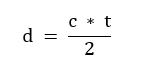
d – the distance between a sensor and an object; c – light speed; t – time of light propagation
One of the key advantages of using LiDAR is that it could be mounted on almost any moving or stationary object. Often it is mounted on airplanes, drones, cars, trains, and boats or can just be carried in hands. This technology can also be mounted on a stand so the surveying can be conducted in a stationary manner.
This technology allows us to make high-quality 3D maps and digital terrain models, and this feature is especially useful in various industry branches including geodesy, urbanism, civil engineering, geology, and many others.
What are some of the applications for LiDAR?
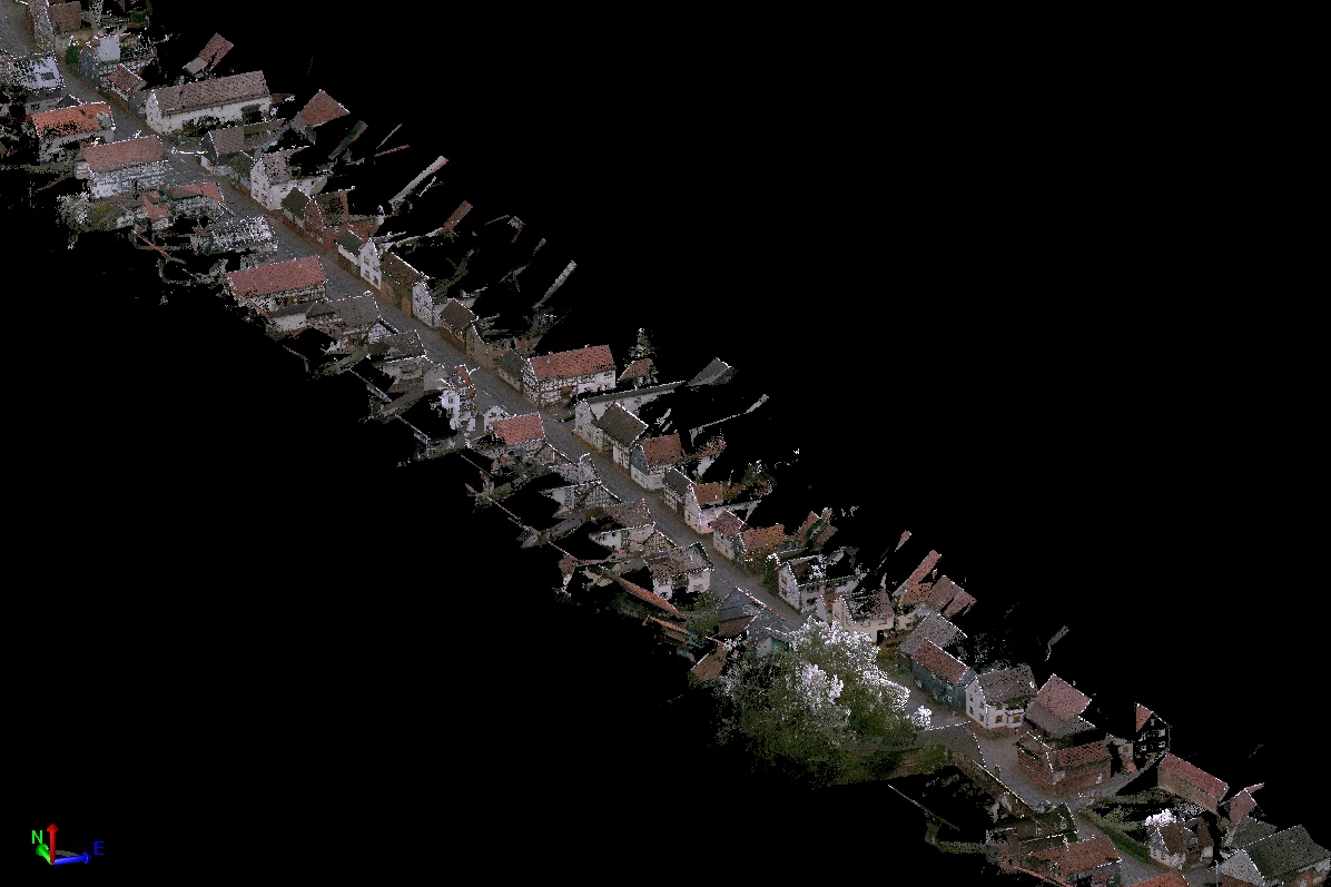
The most relevant result of a LiDAR surveying session for geomatics and mapping is a point cloud that represents a 3D model of objects or features of interest. Digital twins can be created using the point cloud by making BIMs (Building Information Modeling), DTMs (Digital Terrain Model), DEMs (Digital Elevation Model), etc.
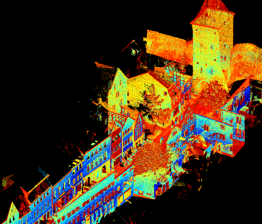
Further customization of the point cloud is applied such as extraction and classification of features and objects like bridges, road networks, railways, vegetation, as well as different kinds of street furniture.
In the field of urban planning, LiDAR can be useful for the analysis of changes in urban areas. Point clouds provide detailed insight into important information about objects such as buildings, bridges, and street junctions.
When it comes to civil engineering, 3D models are used by engineers and architects to survey terrain before setting the construction site. It is an easier and quicker method than the conventional way.
Vehicles with an autonomous driving system also use LiDAR data as a source to navigate them and to prevent potential crashes.
What is the future of LiDAR in your opinion?
LiDAR is a phenomenal technology that enables engineers to better understand the world around us. Its precision and capability to create 3D models quickly make it a powerful tool in many different industries. In its current state, LiDAR is one of the key technologies in the contemporary world as it makes our lives easier while providing very accurate results. In the future, this technology will only continue to grow and we will continue to find new applications for it, especially in mobile mapping and autonomous driving fields.
Share this post