Celebrating 5 Years of Excellence: Ljubiša Jurošević’s Remarkable Contribution to Our Team!

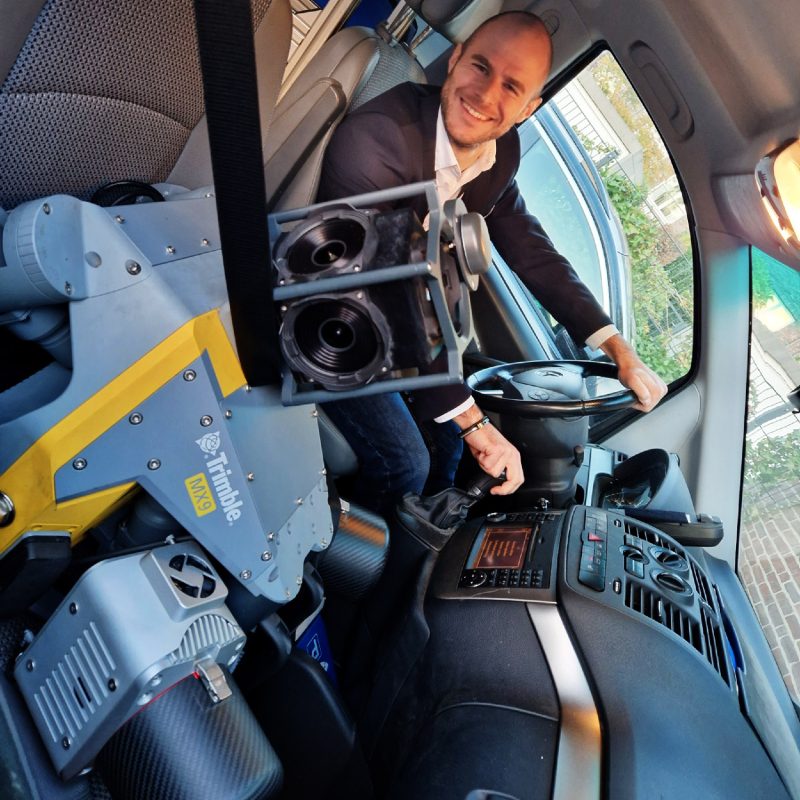
Ljubiša Jurošević is not only a highly skilled expert in geospatial technology and infrastructure management, but also a true ambassador of DataDEV. With years of experience managing large-scale road and rail infrastructure projects, he seamlessly blends technical expertise with invaluable soft skills such as leadership, communication, and problem-solving. Ljubiša’s ability to collaborate across diverse teams and his talent for building strong professional relationships have been key to the success of numerous projects.
Whether you’re a fellow industry professional or someone curious about the intersection of technology and infrastructure, Ljubiša’s experience and perspective will provide you with a deeper understanding of how data is shaping the future of our built environment.
Share This Post
With five years of experience specializing in Mobile Mapping and georeferencing, how have you seen technology evolve over the years, and what do you consider to be the biggest advancements in this field for road and rail infrastructure?
Let’s just look at the pace of change: data collection has remained relatively unchanged over the last several years, while data processing is still evolving and hasn’t reached its peak yet. However, even at this stage, the technology that we have demonstrated its power by saving a lot of time and resources and delivering high-quality results. Besides this, the technology provided an additional range of applications of geospatial science and therefore gave this world additional value.
With your experience in managing complex projects, how do you ensure the efficient coordination of teams, optimization of resources, and adherence to budgets, while maintaining the highest standards of data quality in the Point Cloud Registration Department?
For me, it’s all about the good communication and human relationships between people in the team and between different teams. Besides this, I prioritize staying calm and always grounded. Good decisions are crucial, and they can only be made with a clear mind.
3D scanning and point cloud registration are critical for accurate infrastructure planning. Can you walk us through your approach to organizing and processing large datasets, and how do you ensure precision and efficiency in the final output?
Organization is key when it comes to processing large datasets. Before embarking on large-scale projects, visualizing the processes gives me deeper insight into the workflow and potential issues, for which I always want to have a solution before they happen. Having constant, similar projects helps establish standard procedures. Making sure everyone knows exactly what they should do and making them conscious of how important it is to control their input, and their part of work helps with precision and efficiency.
What technical skills are most important for managing a team that processes data collected by mobile mapping systems?
I wouldn’t say that technical skills are too crucial, but rather so called “soft skills”. Most important part of the team and the whole company are the people. One can’t manage a team without empathy and proper communication.
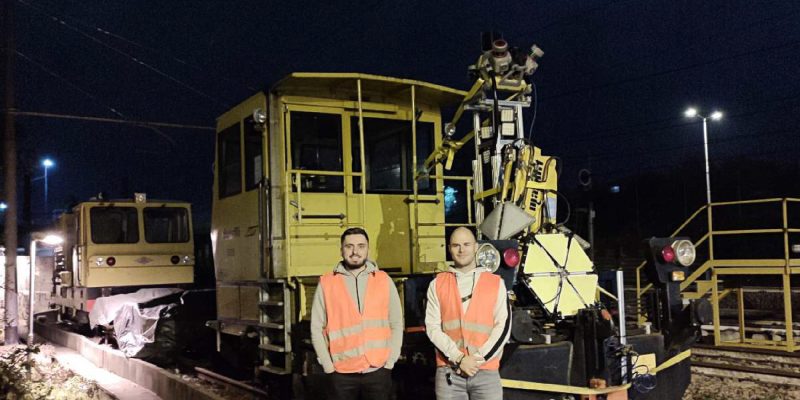
Your experience in managing rail infrastructure projects is impressive. Could you share an example of a particularly challenging rail project you’ve led, and how your leadership, ability to collaborate with teams, and capacity for improvisation helped drive its successful completion?
To be honest, there isn’t any that gave too many headaches. Looking back at it, I give all credit to the teams I’ve been working with. Putting ego aside and the goal on top made overcoming challenges easy.
Given your experience with various geospatial tools, how do you decide which technologies or software to implement in a project, and how do you ensure the seamless integration of geospatial data, particularly in large-scale road and rail infrastructure projects?
Project specification is very important and usually dictates which tools to use. We are very familiar with what we do daily, so there are a couple of tools already standardized in our workflows. However, we are not strictly tied to it and tend to think outside the box when necessary. Personally, I’m a huge fan of tools which integrate as many processing steps as possible. Moving the data from one environment to another requires additional care and has more room for potential errors.
Seamless integration of geospatial data would be a huge mess without the deep knowledge about the data formats and the way they work, so this is where we put a lot of effort as well.
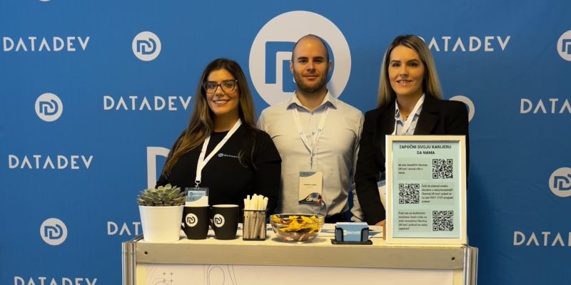
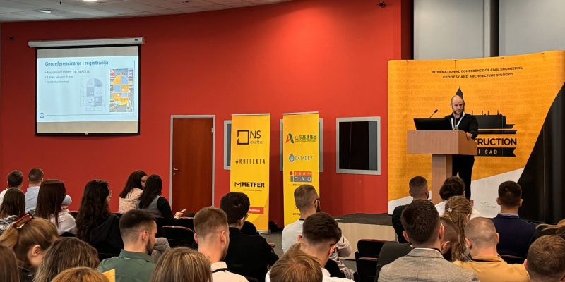
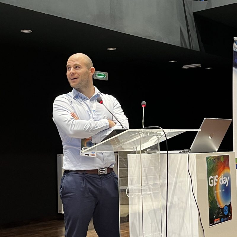
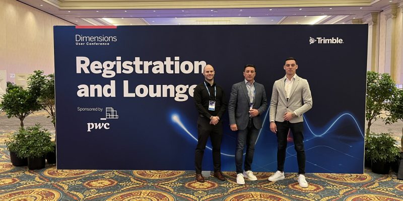
Beyond his technical work, Ljubiša actively represents DataDEV at industry fairs, where he connects with professionals, collects data, and networks with key stakeholders to stay at the forefront of industry trends. His passion for geospatial technology is matched by his dedication to building a global community of innovators. As he once said: “DataDEV team members come from different parts of the Balkans, but there is one thing in common – we all came from DataDEV.” This sentiment perfectly captures his commitment to fostering collaboration and a shared sense of purpose across borders.


