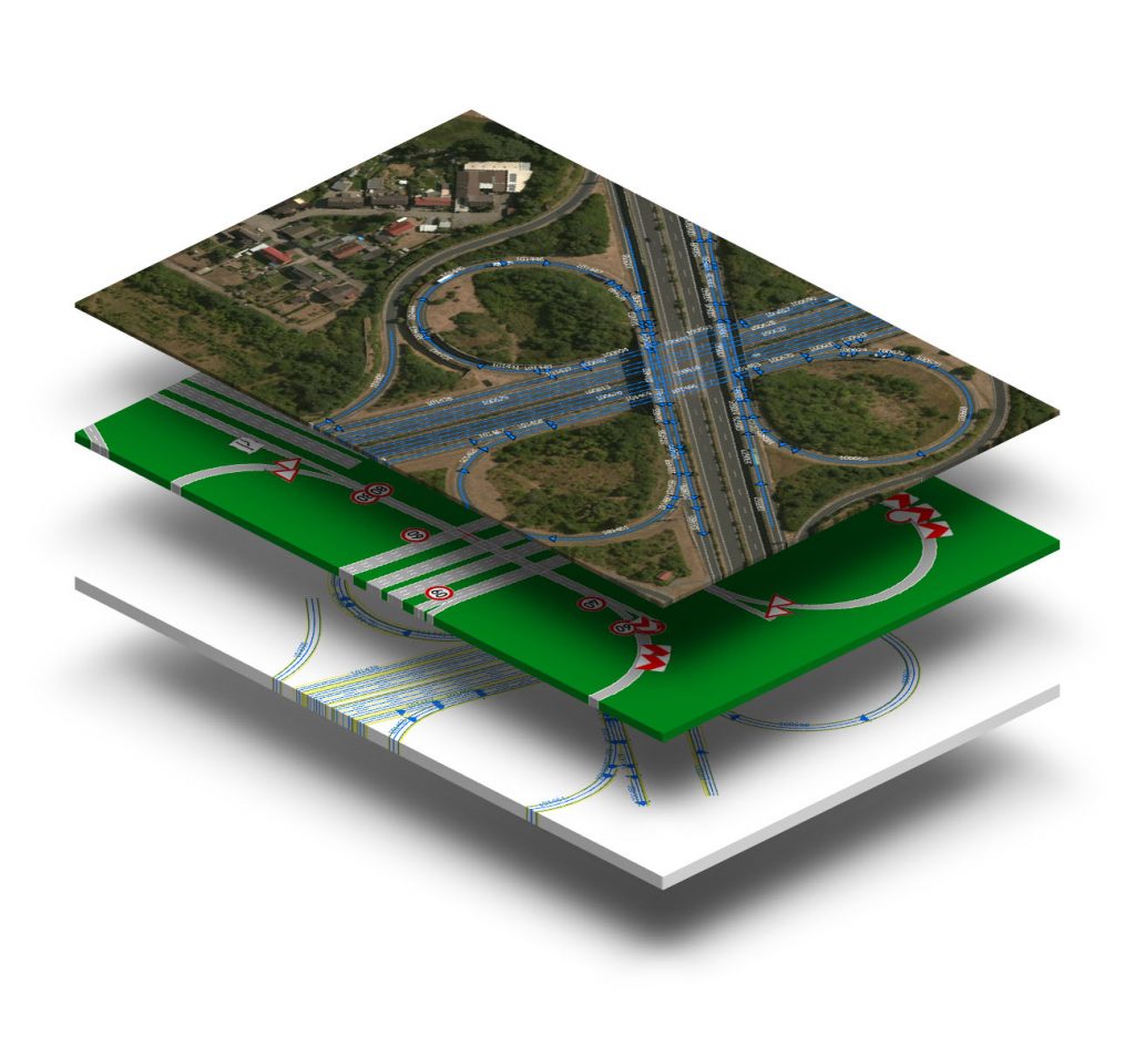
HAD MAPS
DataDEV uses point cloud data to create High Definition Maps or HAD Maps for short.
HAD maps are used for high precision purposes (autonomous driving, precise localization). These maps specifically have extremely high precision at centimeter-level.
- Geographical information stored in WGS84 (EPSG:4326) with elevation information
- Geographical position accuracy around 0.1 meter
- Position accuracy should be absolutely correct on world ellipsoid. Relative accuracy can be useful in several use-cases, but most use-cases require an absolute accuracy
- High-detailed extracted data of the whole road structure of interest implemented in HD Maps
