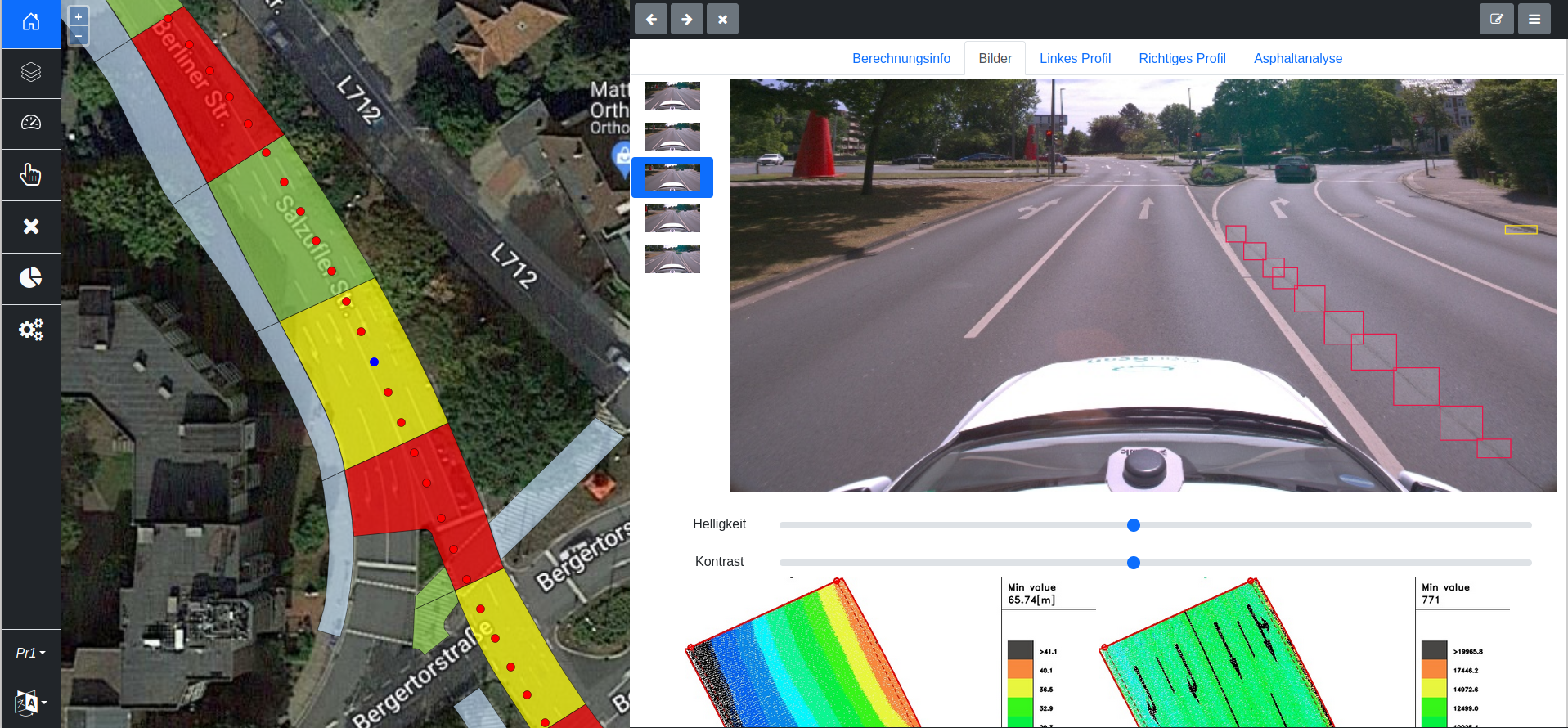
AI powered software is used to extract road defects automatically out of high-quality images.Flatness and height variations can be extractedfrom accurate and dense point cloudsin both driving directions with cross sections for every 1 meter. Data access is realized using our web application. Status of the roads can be checked as well as statistics regarding it. This feature is useful for maintenance systems. The details provided with this analysis can be checked, such as height profiles for each parcel, captured images, intensity and height view of the point cloud. Results can be traceable. Advantages of using this software are minimization of human errors in road maintenance and optimal management of the road network.